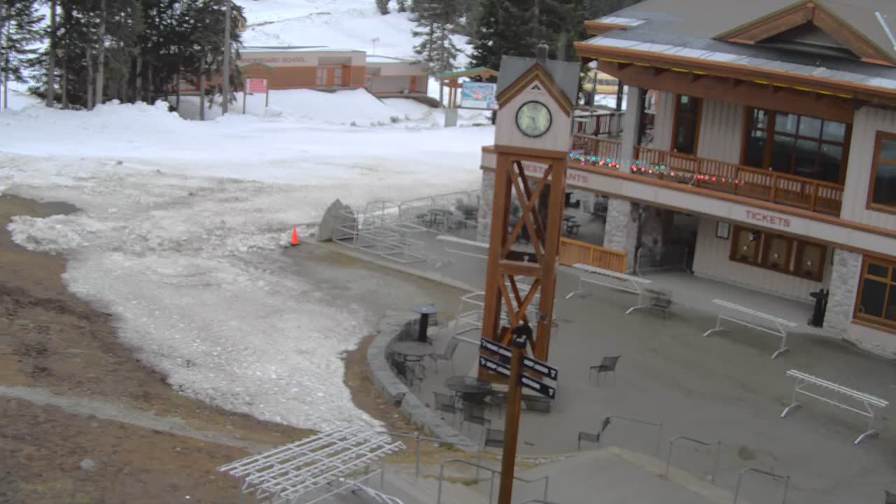
Hill Snapshot
Overnight0”
24hr Snow0”
48hr Snow0”
Total Snow0”
Today Snow0”
Summit Temp51°
Base Temp60°
Summit Wind
N/A

- Temperature
- Base Total
- 24 Hour
- AVG Wind
All data updated hourly, except 24 hour and 48 hour snow updates which
update daily at 5am
History
 2026-07-29
| 24 HR | Total Snow | Temp | Wind MPH | |
|---|---|---|---|---|
| Summit (4,850') |
N/A | N/A | 51° | N/A |
| Base (3,950') |
0” | 0” | 60° | N/A |


Mountain Links
Resort Reported Snow Conditions Stevens Pass Mountain Cams NOAA - Stevens Pass Forecast WSDOT - Stevens Pass Road Conditions NWAC - Regional Avalanche Conditions NWAC - Stevens Pass Telemetry NWAC - Stevens Pass Telemetry Graphs NOAA - NW Weather Forecast/Conditions NOAA - Pacific Ocean Satellite NOAA - US Pacific Coast Satellite NOAA - Pacific NW Satellite Windy.com - Wind and Weather Summary OpenSnow.com - Conditions Summary Snow-Forecast.com - Conditions Summary OnTheSnow.com - Conditions Summary BestSnow.net - Season Totals & Stats Surfline.com - Ocean Wave Heights Stevens Pass Trail MapsForecast
Today
High: 63
Low: 44
Low: 44
Sunny, with a high near 63. West wind 5 to 7 mph.
Tonight
High: 63
Low: 44
Low: 44
Mostly clear, with a low around 44. West southwest wind 6 to 8 mph.
Thursday
High: 62
Low: 46
Low: 46
Sunny, with a high near 62. West wind 6 to 8 mph.
Thursday Night
High: 62
Low: 46
Low: 46
Mostly clear, with a low around 46. West wind 6 to 9 mph.
Friday
High: 69
Low: 49
Low: 49
Sunny, with a high near 69. West wind around 6 mph.
Friday Night
High: 69
Low: 49
Low: 49
Mostly clear, with a low around 49.
Saturday
High: 53
Low: 40
Low: 40
Rain likely, mainly after 11am. Partly sunny, with a high near 53. Chance of precipitation is 60%.
Saturday Night
High: 53
Low: 40
Low: 40
Rain likely, mainly before 11pm. Mostly cloudy, with a low around 40.
Sunday
High: 52
Low: 40
Low: 40
Partly sunny, with a high near 52.
Sunday Night
High: 52
Low: 40
Low: 40
Mostly clear, with a low around 40.
Monday
High: 66
Low: 49
Low: 49
Sunny, with a high near 66.
Monday Night
High: 66
Low: 49
Low: 49
Mostly clear, with a low around 49.
Tuesday
High: 70
Low:
Low:
Sunny, with a high near 70.